.png)
.png)
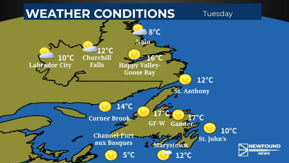
Storm slamming eastern and central Newfoundland
- Kyle Sooley-Brookings

- Feb 14, 2023
- 1 min read

A winter storm is well underway across the eastern half of the province. The storm has prompted several closures from schools to post secondary to businesses and services. A complete list can be found here.
Snow will continue today with blowing snow. Some areas could see up to 45 cm of snow in total. Across the Avalon Peninsula, there is a risk that snow could mix with, or change to ice pellets at times. On the southeastern Avalon, there could be some freezing rain.

Snowfall forecast (Tuesday to Wednesday morning)
St. John's 25-35 cm
Trepassey 5-15 cm
Carbonear 30-40 cm
Placentia 15-25 cm
Marystown 20-30 cm
Clarenville 25-40 cm
Gander 20-25 cm
Winds will be the strongest this morning and will pick up again on Wednesday morning. Winds will gust between 80 and 100 km/h on the Avalon, 80 to 90 km/h on the Burin Peninsula through to Clarenville, and 60 to 70 km/h in the Gander areas.
The storm will wind down Wednesday morning.


Comments