
.png)
Significant winter storm for Newfoundland gets underway tonight
- Kyle Sooley-Brookings

- 10 hours ago
- 1 min read

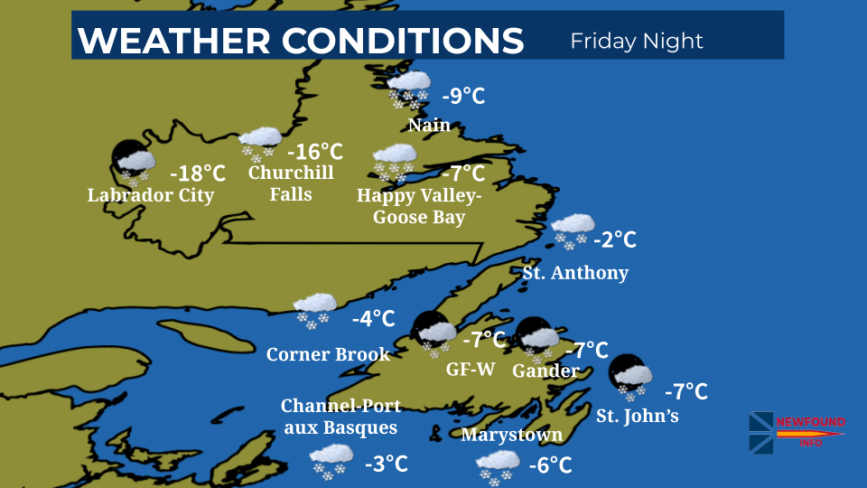
Newfoundland will see the storm start overnight.
The Avalon and Burin Peninsulas, and Clarenville will receive the most snow. Snow will start overnight and continue until Tuesday. Snowfall amounts of 30 to 50 cm are expected. Over the southern Avalon and parts of the Southern Shore, snow will change to rain with 5 to 10 mm expected.
Snowfall amounts of 15 to 25 cm are expected for Connaigre and the Bay d'Espoir Highway.
Parts of eastern, northeastern, and central Newfoundland will receive 15 to 30 cm.
Winds for the south coast, central, and the Avalon Peninsula will gust between 80 and 100 km/h, resulting in reduced visibility and blowing snow.
On Monday and Tuesday, the south coast of Newfoundland from Cape Ray to Francois and eastern and northeastern facing shorelines from Cape Freels to Cape St. Mary's will see waves of 3 to 6 metres breaking upon the shore.
Heavy snow, strong winds and blowing snow can make roads treacherous or even impassable, especially on highways and rural routes.
Marine Atlantic’s ferry service is cancelled for today and will likely be cancelled on Monday.
Flight delays and cancellations are likely.


Comments